 |
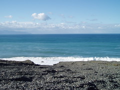
Part way up the coast is a big shingle fan where a river runs down to the coast after heavy rain. We could have gone straight across the fan, but carrying packs we decided to go for what seemed to be the easier option and follow the 4WD road as it climbed up the side of the fan and then twisted its way through it.
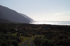
 Looking at the ocean from on the shingle fan Looking at the ocean from on the shingle fan | 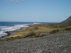 Looking south back where we have come from |
 View up the Mukamuka Valley. Mt Matthews rears up to the right, and the South Saddle is obvious to the left of the ridge. |
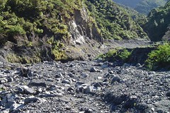 The "track" up the Mukamuka Valley |
At last we came to an orange triangle - easily missed - at the last of the stream junctions. I would have taken the wrong junction this time, so it was good to have it there. The track was obvious in some places, less so in others. And then we got to the last steep climb up to the saddle. The track was even less obvious here, but we made the saddle with no dramas. The view on the saddle was superb: to the east we could see down the Mukamuka Valley to the Pacific Ocean; to the west we were looking at the Orongorongo ranges.
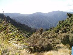 West to the Orongorongo Ranges | 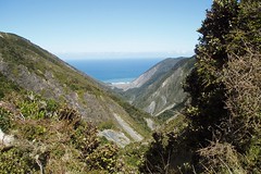 East down the Mukamuka Valley to the coast and the Pacific Ocean |
It was a long trek back from here. First we had to follow the track part way around Mt Matthews, and then follow the notoriously steep descent down to the Orongorongo River. And then it was a very long walk down the river to get back to the coast.
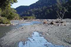 Heading down the Orongorongo River | 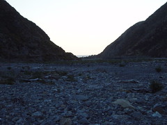 Near the end of the day and near the end of the Orongorongo River |
Maps
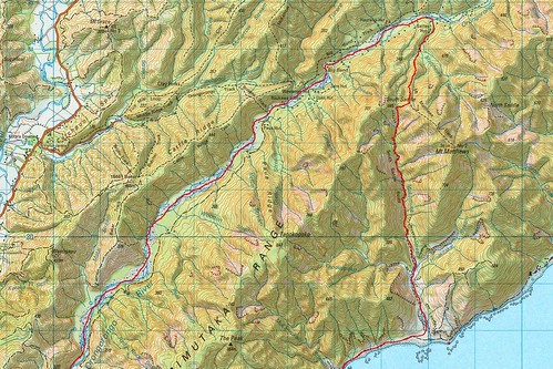 Northern Half |
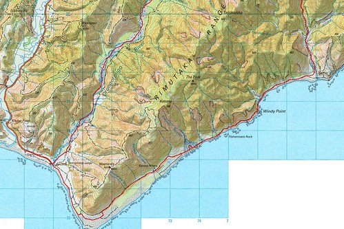 Southern Half |
More photos are available on Flickr.
0 comments:
Post a Comment