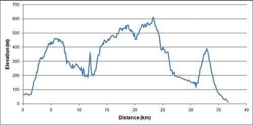
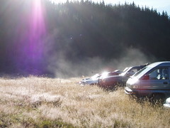
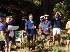
Another rogaine, another less than spectacular effort in terms of score. But it was still a good number of hours on my feet at a time that is supposed to be my recovery after the three ultramarathons earlier in the year.
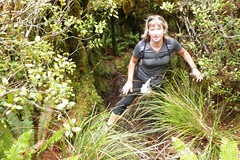
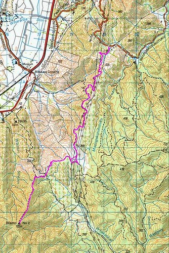
Set off for #10, in the midst of a bunch of people heading up a ridiculously steep track. If this was the effort required to get an easy 10 pointer then this would be a long, hard day!
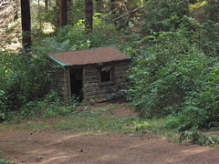
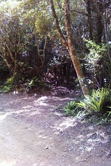
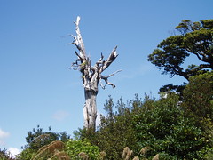
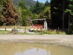
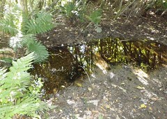
Old hut on the way to #82
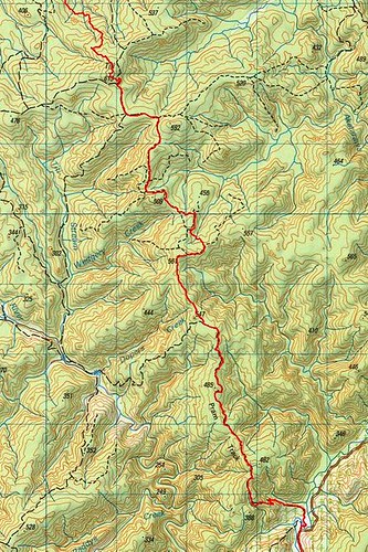
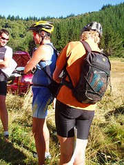
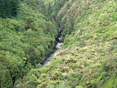
After #10 it was an easy walk around to pick up #47 (a reentrant, but seeming more like a gully). Then down the hill and up a stream to get #82. We saw one team searching completely the wrong stream, at least our navigation was right. Having got #82 it was back down the stream to the road, then up a grassy road, and up a short stretch of stream to get #48. We were scoring better than 100 points an hour - this was looking good!
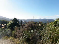
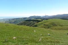
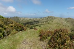
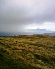
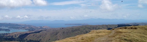
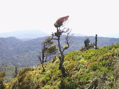
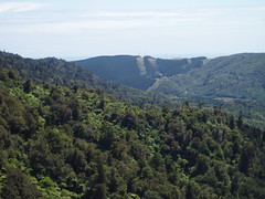
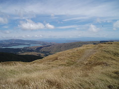
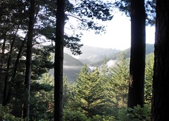
View from the hill tops
A short piece of cross-country navigation to gain a road, and then it was a long, long climb up to try and find #21. Once we reached the top #21 was on a knoll to the south side of the track, except we couldn't find it. We tried several knolls and couldn't find it anywhere. Worse, while in the bush looking for the control we passed a critical track junction and kept going forwards, and down. A good 500m past the junction, and perhaps 60m down, we realised our error and headed back up. Having lost far too much time hunting for #21 and missing the junction it was now time to push on.
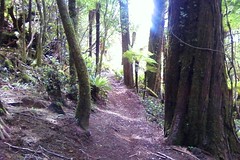
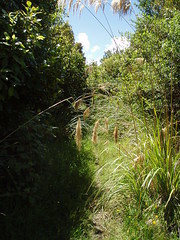
Part of the track between #66 and #68
Heading downhill we picked up the foot track to the left, and then picked up controls #66 (well hidden on a knoll) and #68 (another reentrant, but more like a bog). I was getting concerned on this section that we could run out of daylight at the critical section yet to come.
Around to Orange Hut at the top left of the course, and then along the stream to #87. The route guide directed us to a gully that was relatively easy travel up to #99, but also said that it would be unwise to attempt this section in the dark. It was now 5pm, and the light was definitely starting to fade, but would we have enough time?
Taking a bearing to the gully
I took a compass bearing from the map and we followed the bearing until we were definitely in the gully. The gully was straightforward to follow, although one had to be careful not to go too high (supple jack) or too low (dense cutty grass). Half way up the light faded to the point that it was time for lights. We kept following up until the gully opened out at the top. The map now indicated we should go "up" and to our right, so that's what we did. After a short climb out I pushed through some scrub to find a track, and the track led straight to #99!
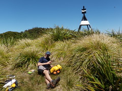
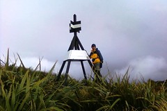
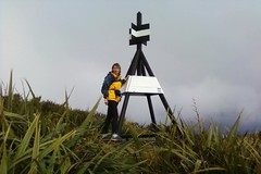
Time for dinner.
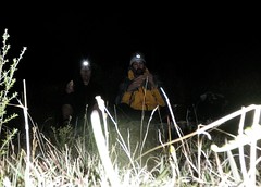
It was now properly dark. After photos to record the achievement we sat down to eat a filled roll for dinner, and then set off to collect #23 (must be easy) on our way back to the main track.
Soon after departing #99 we lost the track and had to backtrack and start again. The route guide said that the intermittent track followed an old tramline. We were on a benched formation of some sort and thought we had it right. We were paying more attention to this instruction than to the map, which showed the track heading along the ridge line. We were pushing our way through regrowth, sometimes emerging onto what clearly seemed to be a track, and was definitely benched. But the "track" was dropping lower and lower. Eventually we were so far below the ridgeline that I decided it would be worth climbing back to the top to see if there was a more defined track up there. A steep climb to the ridge, then out with the compass to find that we had been heading in almost the opposite direction to where we should have been! Some compass work and a little bush bashing and we regained the track.
It had been dark for several hours by now, and we were a long way from where we had wanted to be. It was time to shorten our route and keep to the roads and tracks. #37, #22, bypass #67 which was off track, completely avoid the SW corner of the map, and head for #79.
#79 took a while to find, mainly because it was not where the map suggested it would be. We were fortunate to be in the right place as someone else did find it. After that it was a climb to get #60, then a trek back to the campsite to have something to eat and a short sleep.
I woke after about 3 hours sleep. There was no sign of life from Jan, so I set about plotting an alternative route for the morning. Given yesterday's progress the route we had previously planned was wildly optimistic. Having done that it was off to the hash tent to have some breakfast while I waited for Jan to wake.
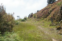
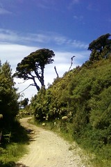
Early morning sun.
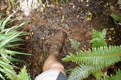
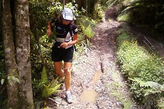
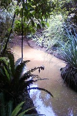
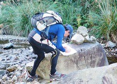
We were off at 8am. I felt quite good, although the first big hill climb was a bit of an effort. #104, then along the forestry road and down through open pine forest on a steep spur to #88. Dropping further down the spur we then picked up the gravel road through to "Rallywoods". We had the choice of either heading down the road and up the river to #83, or heading down another spur. We elected the spur. For the most part this was again steep open pine forest, but for the last few hundred metres was dense vegetation. I found that the easiest way through most of the vegetation was sitting down and sliding down hill, a technique that enabled me to stay under most of it. Emerging at the river there was a short drop on to a narrow sandy beach, then two short river crossings - one up to mid-thigh - to gain the control.
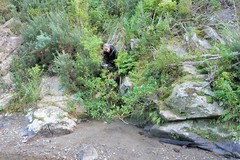
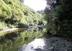
Jan emerges from the scrub onto the bank of the
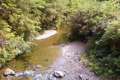
Whakatiki River
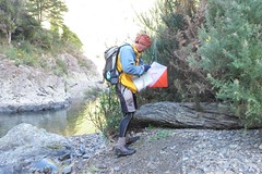
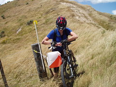
Punching in at #83
We still had a considerable amount of time before the 24 hours was up, but we were tired and couldn't really be bothered with another long steep hill climb, so we decided to return to the finish. We got there to find that we weren't the first to finish, but we were about an hour and a half early.
More photos available on
Flickr.