We set a reasonably ambitious route, based on what we should be able to achieve if we were "just" out ultramarathoning. But we were carrying more gear and water than we are used to, Heather was recovering from the Auckland marathon the week before, and I had various excuses! So we followed the initial part of our plan, but then cut a big chunk off later in the day as it became obvious our plan was too ambitious.
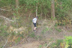
Heather emerges onto the forestry road after
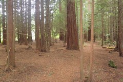
control 72.
control 72.
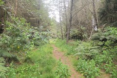
On the way to #68
Our route. In most places the layering of the route on the map works well,
although it does go a little astray in the bottom left hand corner.
although it does go a little astray in the bottom left hand corner.
Easy travel along forestry roads to #71 and then some compass work to get to #57. Just when I was starting to get concerned that the undergrowth was becoming significantly more difficult to push through and it seemed to be taking a long time to get to the track, out we popped! Turn right and follow the single track (+ a climb) and there was #57. Follow the single track out to the clearing by the road and time for a stop for food and warmer layers.
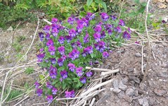
Pansies growing in the old quarry
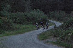
MTB rogainers check their maps as darkness falls.
We got #60 with no problems, but on our way to #90 made a blunder... It seemed to be taking a long time to get to #90, and after checking the map several times I worked out that we had taken a wrong turn. The good news was that this would still get us there, just a little more indirectly. The foot track had been following a stream, and then started to climb away from it. We must be getting close... and then looming up out of the darkness was a huge tree killing machine with enormous pincers and a mass of downed trees strewn behind it. I tried clambering over the trees to see if I could find a way through, but there was nothing obvious. In the end we decided that it would be better to just retrace our steps and take our originally-intended route to #90. So we got there, but not without wasting a lot of time. And it turns out that if we had clambered over the logs we would have found ourselves on the road that leads to #90. It all seems so much less obvious in the dark!
#90 done and all that time wasted it was time to start heading back. Out to the road, we should be able to run along that and pick up #42 on the way. We were jogging along quite nicely until the edge of the road where I was suddenly had a big hole and I tripped. Thump, I went down hard. The map in my right hand protected most of that hand from the coarse chip - the bag shredded, the map was largely ok, and there was a gouge out of one part of my hand. My left hand was saved by my compass, with the cover of the compass shattering on impact. I also took a solid blow to my left knee, and once I stood back up it seemed like I would only be hobbling slowly back to the finish. My leg loosened up a bit as I started to move, and after a couple of minutes I was walking at a reasonable speed. #42 was now out of the question, so it was straight back to the finish and pizza!
More photos available on Flickr.
0 comments:
Post a Comment