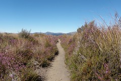
A quick trip up to Ketetahi Hut to see the damage from the recent Te Maari eruption. I was hoping to head right on to the tops and maybe around the back of Blue Lake towards Te Maari itself, but slow traffic and other commitments meant that we ran out of time and just went as far as the damaged hut.
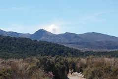
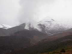
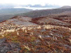
The large plume of steam from the Te Maari vents was easily visible from the carpark, but as we climbed above the bushline it became evident that there was increased thermal activity all over the mountain. Steam was pouring out of the Te Maari vents, there was significantly more steam from Ketetahi than normal, and exposed hillsides with sulphur deposits were also steaming. Perhaps the cooler air temperature made the steam more obvious, but it seemed a lot more than that. Whatever heat source is responsible for the Te Maari eruption must surely be responsible for the general increase in activity. Perhaps there will be more eruptions, or perhaps the mountain will just continue to steam away for months to come.
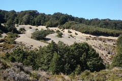
Track damage: rocks strewn across the track by
a lahar.
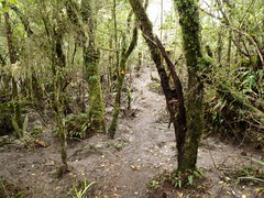
Mud from the lahar between the trees.
Although there had been snow overnight, the snow was not nearly as low as the Metservice forecast (1200m) and the snowline was about at the hut (just under 1500m). We were pleased that other aspects of the forecast were wrong, as instead of rain it was pleasantly dry for most of the way up. It wasn't until we were about 20 minutes from the hut that it started to rain and got quite cold.
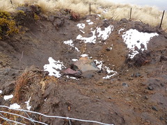
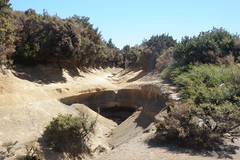
Impact crater with boulder inside.
Impact crater cordoned off.
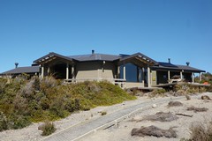
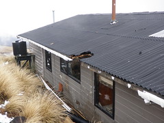
We stopped at the hut to put on dry tops, have a bite to eat, and survey the damage from the eruption. One bunkroom had serious damage from a boulder that had come through the roof, and there are big "bites" taken out of the roof in two other places. DOC has removed the bunks from the central room so that people can't sleep there anymore, but it still provides a welcome shelter.
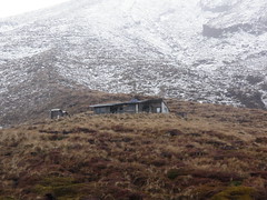
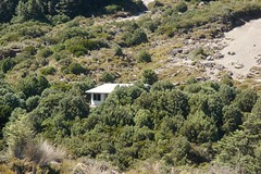
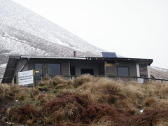
Ketetahi Hut from a distance.
Ketetahi Hut showing damage.
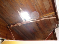
Hole in the roof.
Damage at the back of the hut.
Dead vegetation in the grey ash from the eruption.
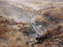
Ketetahi Stream - this was just tepid to the touch.
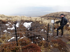
DOC declared a 2km "volcanic hazard zone" around the Te Maari vents and warned that:
- You are still at risk from further volcanic eruptions if you are within the 2 kilometre Te Maari Volcanic Hazard Zone.
- You enter the Te Maari Volcanic Hazard Zone at your own risk.
- You should move quickly through this Volcanic Hazard zone.
- Be aware of the potential of renewed volcanic activity.
- The main danger will be from flying rocks.
DOC also published the map below showing the recommended direction of travel in the event of an eruption.
Postscript
Eight days after this trip, just before 1:30pm on Wednesday 21 November 2012, Te Maari did erupt again. A much less significant eruption than previous, with no rocks ejected and no significant ash. But it was enough for DOC to close the track again.